J3471 : The mothballed Ballynafeigh (Ormeau Road) PSNI Station
taken 9 years ago, 3 km from Belfast, Co Antrim, Northern Ireland
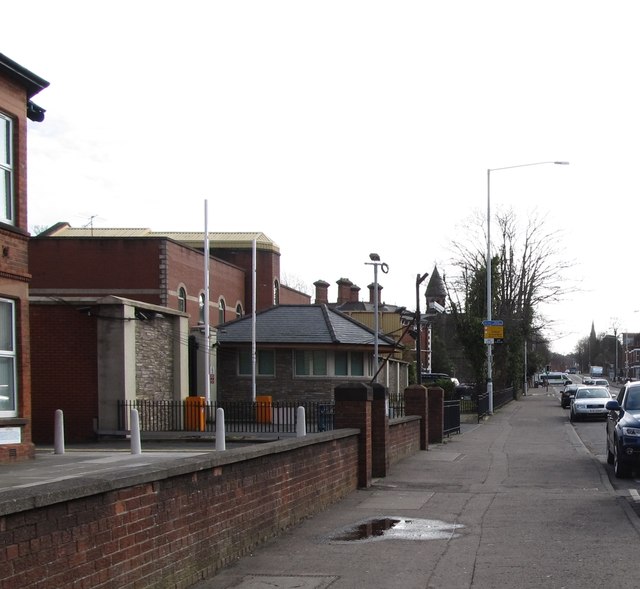
The mothballed Ballynafeigh (Ormeau Road) PSNI Station
South Belfast has four police stations, Ballynafeigh, Musgrave, Donegall Pass and Lisburn Road. Two of these - Ballynafeigh and Donegall Pass - are no longer open to the public.
Link (Archive Link )
J3471 : The disused Ballynafeigh Ormeau Road PSNI station
Link
J3471 : The disused Ballynafeigh Ormeau Road PSNI station
![Creative Commons Licence [Some Rights Reserved]](https://s1.geograph.org.uk/img/somerights20.gif)
|
· Find out How to reuse this image ·
Share:
|
|||||
| Start a discussion on J3471 | Suggest an update to this image | Contact the contributor | |||
Loading map... (JavaScript required)
- Grid Square
- J3471, 273 images (more nearby
 )
)
- Photographer
- Eric Jones (find more nearby)
- Date Taken
- Tuesday, 17 February, 2015 (more nearby)
- Submitted
- Sunday, 22 February, 2015
- Geographical Context
- Subject Location
-
Irish:
 J 347 716 [100m precision]
WGS84: 54:34.5154N 5:54.9992W - Camera Location
-
Irish: J 347 716
- View Direction
- East-southeast (about 112 degrees)
Image classification(about):
Geograph
This page has been viewed about 111 times.
View this location:
KML (Google Earth) ·
Google Maps ·
Bing Maps ·
Geograph Coverage Map ·
More Links for this image