2015
SO8652 : Dualling the A4440
taken 9 years ago, near to Whittington, Worcestershire, England
This is 1 of 3 images, with title Dualling the A4440 in this square
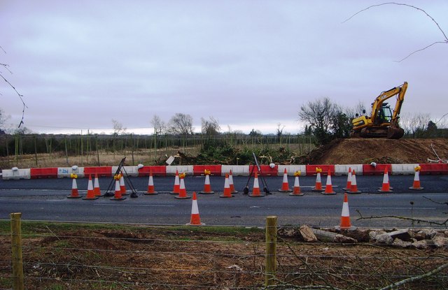
Dualling the A4440
Clearing the willows and hedge reveals the hopyard beyond and opens up a footpath that has been impassable for many years.
 Map © Crown Copyright")
TIP: Click the map for more Large scale mapping
- Grid Square
- SO8652, 227 images (more nearby 🔍)
- Photographer
- Andrew Darge (more nearby)
- Date Taken
- Monday, 9 March, 2015 (more nearby)
- Submitted
- Tuesday, 10 March, 2015
- Subject Location
-
OSGB36:
 SO 8608 5204 [10m precision]
WGS84: 52:9.9869N 2:12.2960W - Camera Location
-
OSGB36: SO 8601 5207
- View Direction
- East-southeast (about 112 degrees)