2007
SP9446 : wheat field and field boundary - towards Astwood
taken 17 years ago, near to Astwood, Milton Keynes, England
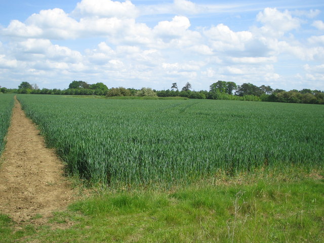
wheat field and field boundary - towards Astwood
Milton Keynes Boundary Walk footpath through field (to Astwood) on left of picture.
Coppershole Spinney on right
Coppershole Spinney on right
 Map © Crown Copyright")
TIP: Click the map for more Large scale mapping
- Grid Square
- SP9446, 6 images (more nearby 🔍)
- Photographer
- ian saunders (more nearby)
- Date Taken
- Sunday, 20 May, 2007 (more nearby)
- Submitted
- Sunday, 20 May, 2007
- Subject Location
-
OSGB36:
 SP 949 465 [100m precision]
WGS84: 52:6.5218N 0:36.9420W - Camera Location
-
OSGB36: SP 948 461
- View Direction
- North-northeast (about 22 degrees)