2015
NS3678 : Round enclosure on Carman Muir
taken 9 years ago, near to Renton, West Dunbartonshire, Scotland
This is 1 of 3 images, with title Round enclosure on Carman Muir in this square
Round enclosure on Carman Muir
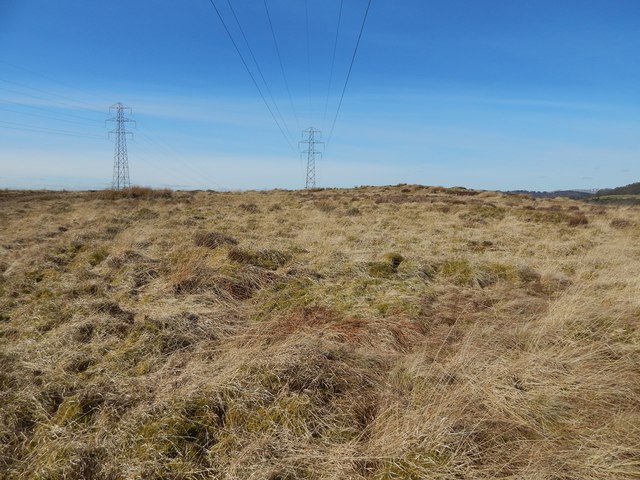
The feature was originally reported as a hut circle; however, as described in the end-note, it was later considered more likely that this had been an animal enclosure. See the WoSAS link in the end-note for further details.
Short of planting little flags around the perimeter, or submitting a stereogram, there is no way to make this feature clearly visible in photographs. It is not evident in satellite imagery either.
It is about 14 metres across (45 feet) across; the circular interior is enclosed by a low, inconspicuous bank. Click on the end-note title for related views.
In the present picture, parts of the bank are visible because they are a little darker and greener than the surrounding muir. The left-hand edge of the circle is in front of, and slightly to the left of, the pylon on the left, and the right-hand edge of the circle is in front of the tiny section of partly snow-covered distant hills visible near the right-hand edge.
Circular enclosure on Carman Muir
A low, indistinct, circular bank, about 14 metres in diameter, outlines this feature, which is difficult to pick out on the ground. It was originally reported as a hut circle, but a later opinion (see comments from 2014 in Link
at WoSAS) is that it had probably been an animal enclosure. See Link
 Map © Crown Copyright")
TIP: Click the map for more Large scale mapping
- Grid Square
- NS3678, 137 images (more nearby 🔍)
- Photographer
- Lairich Rig (more nearby)
- Date Taken
- Saturday, 21 March, 2015 (more nearby)
- Submitted
- Saturday, 4 April, 2015
- Subject Location
-
OSGB36:
 NS 3698 7857 [10m precision]
WGS84: 55:58.3417N 4:36.8294W - Camera Location
-
OSGB36: NS 3699 7856
- View Direction
- Northwest (about 315 degrees)