S9140 : View south of Kiltrea
taken 17 years ago, 3 km from Davidstown, Co Wexford, Ireland
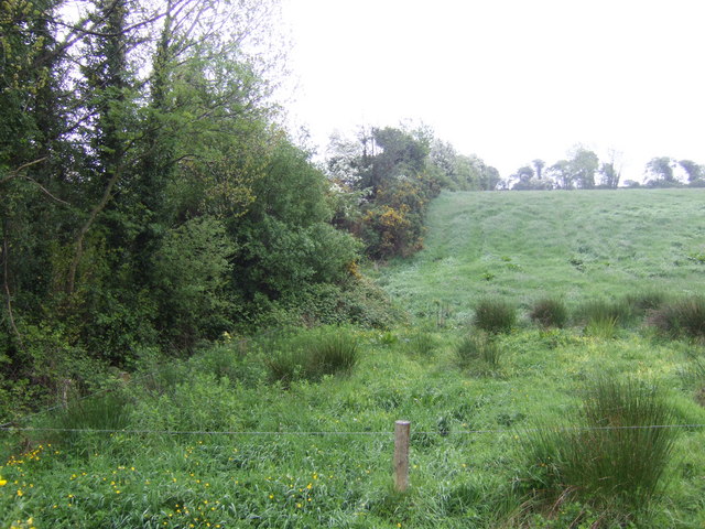
View south of Kiltrea
A hay field ready to cut when it stops raining!
![Creative Commons Licence [Some Rights Reserved]](https://s1.geograph.org.uk/img/somerights20.gif)
|
· Find out How to reuse this image ·
Share:
|
|||||
| Start a discussion on S9140 | Suggest an update to this image | Contact the contributor | |||
Loading map... (JavaScript required)
- Grid Square
- S9140 (more nearby
 )
)
- Photographer
- Jonathan Billinger (find more nearby)
- Date Taken
- Wednesday, 16 May, 2007 (more nearby)
- Submitted
- Thursday, 24 May, 2007
- Category
- Field boundaries (more nearby)
- Subject Location
-
Irish:
 S 91286 40246 [1m precision]
WGS84: 52:30.3830N 6:39.3801W - View Direction
- SOUTH (about 180 degrees)
This page has been viewed about 37 times.
View this location:
KML (Google Earth) ·
Google Maps ·
Bing Maps ·
Geograph Coverage Map ·
More Links for this image
·
Bing Maps ·
Geograph Coverage Map ·
More Links for this image