2015
TL4657 : Salvation Army Citadel, Tenison Road, Cambridge
taken 9 years ago, near to Cambridge, Cambridgeshire, England
This is 1 of 2 images, with title Salvation Army Citadel, Tenison Road, Cambridge in this square
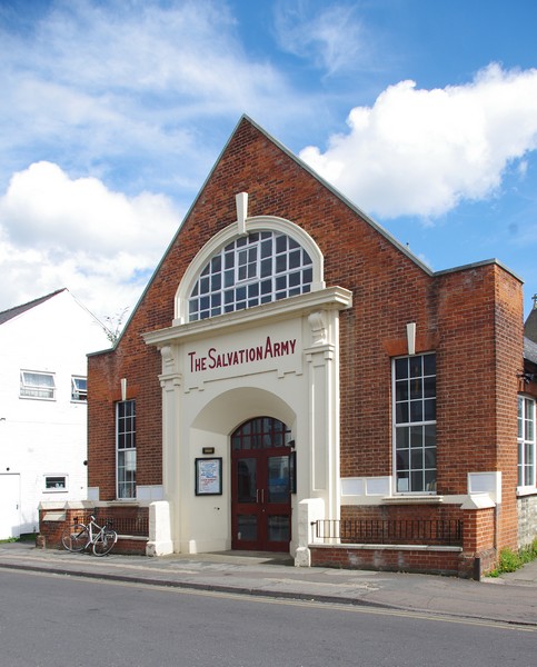
Salvation Army Citadel, Tenison Road, Cambridge
 Map © Crown Copyright")
TIP: Click the map for more Large scale mapping
- Grid Square
- TL4657, 2304 images (more nearby 🔍)
- Photographer
- Jim Osley (more nearby)
- Date Taken
- Saturday, 25 April, 2015 (more nearby)
- Submitted
- Wednesday, 29 April, 2015
- Subject Location
-
OSGB36:
 TL 4611 5784 [10m precision]
WGS84: 52:11.9660N 0:8.1882E - Camera Location
-
OSGB36: TL 4608 5782
- View Direction
- Northeast (about 45 degrees)