2014
NM4266 : End of the road
taken 10 years ago, near to Portuairk, Highland, Scotland
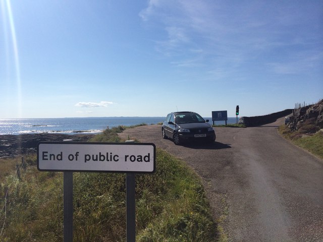
End of the road
This is the road leading to Ardnamurchan Lighthouse on the Ardnamurchan Peninsula which is located on the west coast of Scotland. This is actually the most westerly point of the UK mainland, so it really is the end of the road. In the picture you can see the Atlantic Ocean and just make out the silhouette of the Outer Hebridean Islands of Barra and South Uist.
 Map © Crown Copyright")
TIP: Click the map for more Large scale mapping
- Grid Square
- NM4266, 6 images (more nearby 🔍)
- Photographer
- Anthony Casey (more nearby)
- Date Taken
- Tuesday, 26 August, 2014 (more nearby)
- Submitted
- Friday, 12 June, 2015
- Subject Location
-
OSGB36:
 NM 4213 6693 [10m precision]
WGS84: 56:43.3537N 6:12.9972W - Camera Location
-
OSGB36: NM 4216 6692
- View Direction
- West-northwest (about 292 degrees)