2015
NC4637 : Druim nam Bad
taken 9 years ago, near to Allt Nan Ruadhag [water Feature], Highland, Great Britain
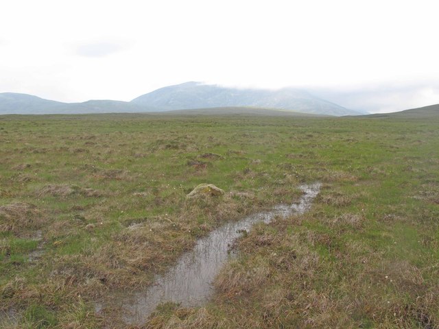
Druim nam Bad
Wet moorland on Druim nam Bad.
 Map © Crown Copyright")
TIP: Click the map for more Large scale mapping
- Grid Square
- NC4637 (more nearby 🔍)
- Photographer
- david glass (more nearby)
- Date Taken
- Thursday, 2 July, 2015 (more nearby)
- Submitted
- Saturday, 4 July, 2015
- Subject Location
-
OSGB36:
 NC 4655 3772 [10m precision]
WGS84: 58:18.0709N 4:37.2053W - Camera Location
-
OSGB36: NC 46833 37987
- View Direction
- Southwest (about 225 degrees)