J3558 : Drumlin-top farmhouse and buildings above the Carryduff Road
taken 9 years ago, near to Boardmills, Co Down, Northern Ireland
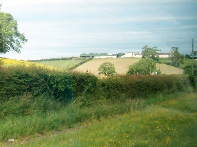
Drumlin-top farmhouse and buildings above the Carryduff Road
The buildings of this dairy farm overlook a large area of wetland with many lakes.
![Creative Commons Licence [Some Rights Reserved]](https://s1.geograph.org.uk/img/somerights20.gif)
|
· Find out How to reuse this image ·
Share:
|
|||||
| Start a discussion on J3558 | Suggest an update to this image | Contact the contributor | |||
Loading map... (JavaScript required)
- Grid Square
- J3558, 14 images (more nearby
 )
)
- Photographer
- Eric Jones (find more nearby)
- Date Taken
- Tuesday, 30 June, 2015 (more nearby)
- Submitted
- Tuesday, 7 July, 2015
- Geographical Context
- Subject Location
-
Irish:
 J 358 582 [100m precision]
WGS84: 54:27.2754N 5:54.3866W - Camera Location
-
Irish: J 360 581
- View Direction
- West-northwest (about 292 degrees)
Image classification(about):
Supplemental image
This page has been viewed about 15 times.
View this location:
KML (Google Earth) ·
Google Maps ·
Bing Maps ·
Geograph Coverage Map ·
More Links for this image
·
Bing Maps ·
Geograph Coverage Map ·
More Links for this image