2007
SP5342 : Gateway to south Open Access area
taken 17 years ago, near to Marston st Lawrence, West Northamptonshire, England
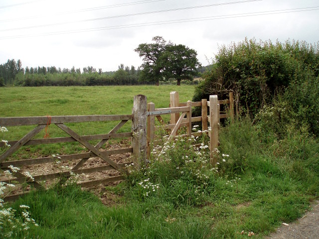
Gateway to south Open Access area
There are two "Open Access" areas north of Marston St Lawrence. This is part of a DEFRA (Department for Environment, Food and Rural Affairs) scheme to encourage wildlife and preserve the mediaeval "ridge and furrow" field patterns. See SP5343 : Open Access area sign for more information.
 Map © Crown Copyright")
TIP: Click the map for more Large scale mapping
- Grid Square
- SP5342, 107 images (more nearby 🔍)
- Photographer
- Duncan Lilly (more nearby)
- Date Taken
- Thursday, 7 June, 2007 (more nearby)
- Submitted
- Thursday, 7 June, 2007
- Subject Location
-
OSGB36:
 SP 53696 42854 [1m precision]
WGS84: 52:4.8868N 1:13.0706W - Camera Location
-
OSGB36: SP 53696 42854
- View Direction
- Northwest (about 315 degrees)