L5744 : Bog and Loch Doonloughan
taken 9 years ago, 5 km W of Ballyconneely, Co Galway, Ireland
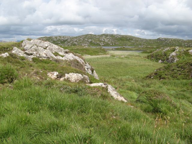
Bog and Loch Doonloughan
A view over the boggy margins of Lough Dhún Locháin.
![Creative Commons Licence [Some Rights Reserved]](https://s1.geograph.org.uk/img/somerights20.gif)
|
· Find out How to reuse this image ·
Share:
|
|||||
| Start a discussion on L5744 | Suggest an update to this image | Contact the contributor | |||
Loading map... (JavaScript required)
- Grid Square
- L5744, 4 images (more nearby
 )
)
- Photographer
- Jonathan Wilkins (find more nearby)
- Date Taken
- Tuesday, 21 July, 2015 (more nearby)
- Submitted
- Thursday, 13 August, 2015
- Geographical Context
- Primary Subject of Photo
- Subject Location
-
Irish:
 L 572 445 [100m precision]
WGS84: 53:25.8986N 10:8.9570W - Camera Location
-
Irish: L 570 445
- View Direction
- EAST (about 90 degrees)
Image classification(about):
Geograph
This page has been viewed about 17 times.
View this location:
KML (Google Earth) ·
Google Maps ·
Bing Maps ·
Geograph Coverage Map ·
More Links for this image
·
Bing Maps ·
Geograph Coverage Map ·
More Links for this image