2015
NX2954 : Challochglass Plantation
taken 9 years ago, 4 km NNW of Culshabbin, Dumfries And Galloway, Scotland
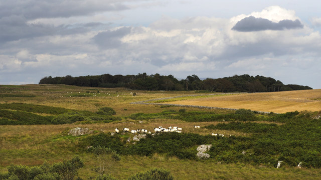
Challochglass Plantation
A shelterbelt planted originally to protect the farm of Challochglass from the worst of the wind.
 Map © Crown Copyright")
TIP: Click the map for more Large scale mapping
- Grid Square
- NX2954, 11 images (more nearby 🔍)
- Photographer
- David Baird (more nearby)
- Date Taken
- Monday, 17 August, 2015 (more nearby)
- Submitted
- Saturday, 29 August, 2015
- Subject Location
-
OSGB36:
 NX 2945 5491 [10m precision]
WGS84: 54:51.5895N 4:39.5202W - Camera Location
-
OSGB36: NX 2871 5461
- View Direction
- East-northeast (about 67 degrees)