2007
SD1771 : Walney Airfield
taken 17 years ago, near to North Scale, Cumbria, England
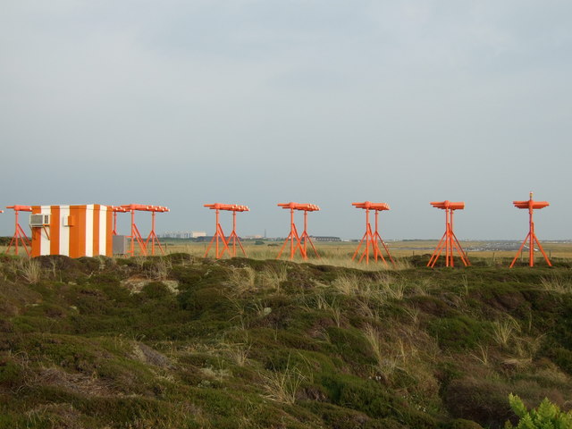
Walney Airfield
Operated by BAE Systems Submarines. The large building in the distance is the Devonshire Dock Hall where Vanguard and Astute class submarines are constructed.
 Map © Crown Copyright")
TIP: Click the map for more Large scale mapping
- Grid Square
- SD1771, 9 images (more nearby 🔍)
- Photographer
- Chris Upson (more nearby)
- Date Taken
- Monday, 11 June, 2007 (more nearby)
- Submitted
- Tuesday, 12 June, 2007
- Subject Location
-
OSGB36:
 SD 172 715 [100m precision]
WGS84: 54:7.9594N 3:16.0846W - Camera Location
-
OSGB36: SD 171 716
- View Direction
- South-southeast (about 157 degrees)