2007
NH1124 : The Stalker's Path in Coire Leachavie
taken 17 years ago, near to Ciste Dhubh [other Features], Highland, Great Britain
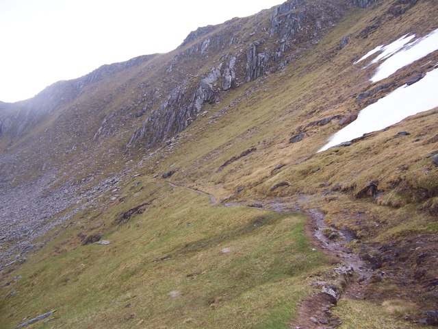
The Stalker's Path in Coire Leachavie.
A really excellent stalker's path descends for the entire length of Coire Leachavie. The photograph is taken from where it starts on the high col south-west of Mam Sodhail.
 Map © Crown Copyright")
TIP: Click the map for more Large scale mapping
- Grid Square
- NH1124, 6 images (more nearby 🔍)
- Photographer
- bill copland (more nearby)
- Date Taken
- Saturday, 2 June, 2007 (more nearby)
- Submitted
- Wednesday, 13 June, 2007
- Subject Location
-
OSGB36:
 NH 117 247 [100m precision]
WGS84: 57:16.4807N 5:7.4362W - Camera Location
-
OSGB36: NH 117 248
- View Direction
- South-southeast (about 157 degrees)