O2013 : Waterfall Bridge
taken 17 years ago, 4 km WSW of Kilmacanoge, Co Wicklow, Ireland
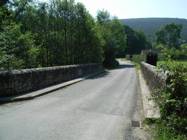
Waterfall Bridge
Waterfall Bridge over the Dargle. Located about 2km downstream from the Powerscourt Waterfall, hence the name. The plaque tells us that the original bridge was built circa 1850 and the current one in 1990.
![Creative Commons Licence [Some Rights Reserved]](https://s1.geograph.org.uk/img/somerights20.gif)
|
· Find out How to reuse this image ·
Share:
|
|||||
| Start a discussion on O2013 | Suggest an update to this image | Contact the contributor | |||
Loading map... (JavaScript required)
- Grid Square
- O2013 (more nearby
 )
)
- Photographer
- JP (find more nearby)
- Date Taken
- Sunday, 10 June, 2007 (more nearby)
- Submitted
- Thursday, 14 June, 2007
- Category
- Bridge (more nearby)
- Subject Location
-
Irish:
 O 20725 13447 [1m precision]
WGS84: 53:9.4868N 6:11.7560W - Camera Location
-
Irish: O 20723 13453
- View Direction
- Southeast (about 135 degrees)
This page has been viewed about 122 times.
View this location:
KML (Google Earth) ·
Google Maps ·
Bing Maps ·
Geograph Coverage Map ·
More Links for this image
·
Bing Maps ·
Geograph Coverage Map ·
More Links for this image