2007
SJ8830 : What Public Footpath?
taken 17 years ago, near to Norton Bridge, Staffordshire, England
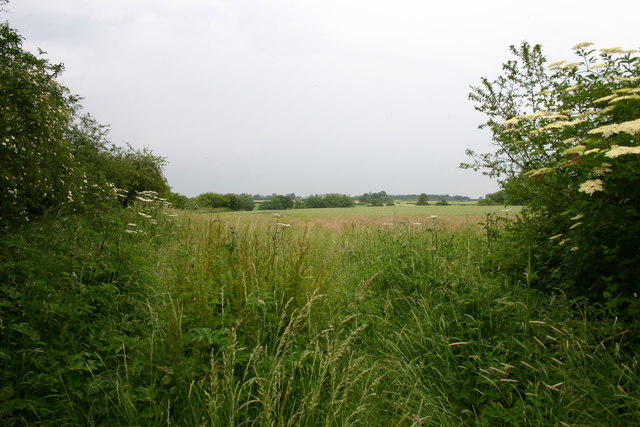
What Public Footpath?
This is a view of what should be a public footpath through a field but the whole route is overgrown with vegetation including nettles and thistles. A very difficult, well, painful walk, but the countryside is lovely.
 Map © Crown Copyright")
TIP: Click the map for more Large scale mapping
- Grid Square
- SJ8830, 20 images (more nearby 🔍)
- Photographer
- Stephen Pearce (more nearby)
- Date Taken
- Wednesday, 13 June, 2007 (more nearby)
- Submitted
- Thursday, 14 June, 2007
- Subject Location
-
OSGB36:
 SJ 8834 3007 [10m precision]
WGS84: 52:52.0788N 2:10.4793W - Camera Location
-
OSGB36: SJ 8834 3007
- View Direction
- North-northeast (about 22 degrees)