2007
NF9999 : Taransay - Buaileabhal from Ard Mhanais
taken 17 years ago, near to Buaileabhal [hill or Mountain], Na h-Eileanan an Iar, Great Britain
Taransay - Buaileabhal from Ard Mhanais
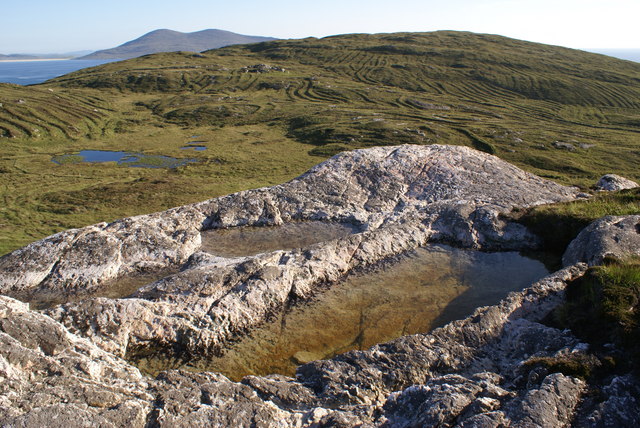
The Lewisian Gneiss summit of Ard Mhanais looks over to Loch Shavaat, peat cuttings and the top of Buailebhal. The South Harris peak of Ceapabhal can be seen in the distance.
 Map © Crown Copyright")
TIP: Click the map for more Large scale mapping
- Grid Square
- NF9999 (more nearby 🔍)
- Photographer
- Peter Standing (more nearby)
- Date Taken
- Wednesday, 6 June, 2007 (more nearby)
- Submitted
- Thursday, 14 June, 2007
- Subject Location
-
OSGB36:
 NF 994 995 [100m precision]
WGS84: 57:53.0152N 7:4.3272W - Camera Location
-
OSGB36: NF 999 998
- View Direction
- Southwest (about 225 degrees)