2015
SS9646 : Water Trough in Vicarage Road
taken 9 years ago, near to Minehead, Somerset, England
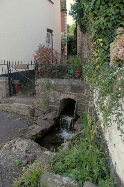
Water Trough in Vicarage Road
Several watering places were installed in the 19th Century for horses
taking visitors up the North Hill Carriage Drive to see the view. The
water is still supplied by a stream from Higher Moor Farm
taking visitors up the North Hill Carriage Drive to see the view. The
water is still supplied by a stream from Higher Moor Farm
 Map © Crown Copyright")
TIP: Click the map for more Large scale mapping
- Grid Square
- SS9646, 495 images (more nearby 🔍)
- Photographer
- David Brinicombe (more nearby)
- Date Taken
- Monday, 21 September, 2015 (more nearby)
- Submitted
- Friday, 25 September, 2015
- Subject Location
-
OSGB36:
 SS 9659 4670 [10m precision]
WGS84: 51:12.6067N 3:28.9071W - Camera Location
-
OSGB36: SS 9660 4669
- View Direction
- West-northwest (about 292 degrees)