D1051 : Kinramer South
taken 17 years ago, 9 km NE of Ballintoy, Co Antrim, Northern Ireland
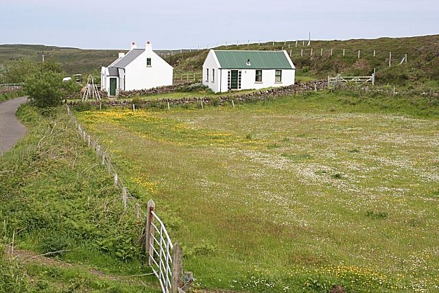
Kinramer South
The cottage on the left is a camping barn for visitors to the island.
![Creative Commons Licence [Some Rights Reserved]](https://s1.geograph.org.uk/img/somerights20.gif)
|
· Find out How to reuse this image ·
Share:
|
|||||
| Start a discussion on D1051 | Suggest an update to this image | Contact the contributor | |||
Loading map... (JavaScript required)
- Grid Square
- D1051, 15 images (more nearby
 )
)
- Photographer
- Anne Burgess (find more nearby)
- Date Taken
- Tuesday, 5 June, 2007 (more nearby)
- Submitted
- Sunday, 17 June, 2007
- Category
- Cottages (more nearby)
- Subject Location
-
Irish:
 D 105 512 [100m precision]
WGS84: 55:17.7173N 6:15.6722W - Camera Location
-
Irish: D 1055 5129
- View Direction
- EAST (about 90 degrees)
Image classification(about):
Geograph
This page has been viewed about 63 times.
View this location:
KML (Google Earth) ·
Google Maps ·
Bing Maps ·
Geograph Coverage Map ·
More Links for this image
·
Bing Maps ·
Geograph Coverage Map ·
More Links for this image