2015
SU3055 : Site of Roman quarry pit
taken 9 years ago, near to Chute Standen, Wiltshire, England
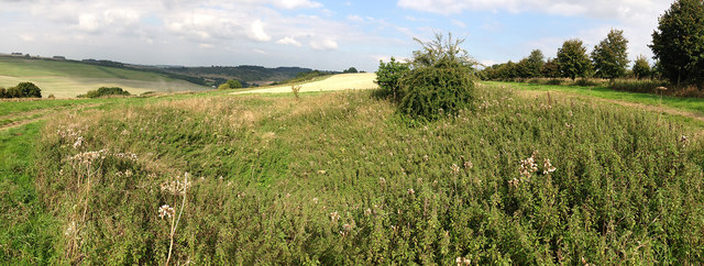
Site of Roman quarry pit
The overgrown nature of this Roman quarry hides its other feature, the mysterious Kenwardstone, a slab of saracen stone with wave-like markings on its surface. There is much conjecture as to how these carvings were formed, some say they were manmade while others suggest they are the result of weathering. See: Link
 Map © Crown Copyright")
TIP: Click the map for more Large scale mapping
- Grid Square
- SU3055, 20 images (more nearby 🔍)
- Photographer
- James Harrison (more nearby)
- Date Taken
- Wednesday, 9 September, 2015 (more nearby)
- Submitted
- Friday, 23 October, 2015
- Subject Location
-
OSGB36:
 SU 3037 5517 [10m precision]
WGS84: 51:17.6913N 1:33.9493W - Camera Location
-
OSGB36: SU 30360 55163
- View Direction
- Northeast (about 45 degrees)