2016
SD5725 : Bradkirk Lane
taken 8 years ago, near to Bamber Bridge, Lancashire, England
This is 1 of 2 images, with title Bradkirk Lane in this square
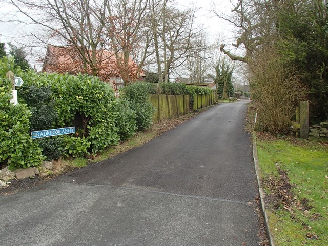
Bradkirk Lane
Bradkirk Lane is so named because it used to lead to Bradkirk Hospital which dealt with contagious diseases. Nowadays this part of the lane is a residential street and public bridleway.
This photo was taken from the junction with Brindle Road.
This photo was taken from the junction with Brindle Road.
 Map © Crown Copyright")
TIP: Click the map for more Large scale mapping
- Grid Square
- SD5725, 43 images (more nearby 🔍)
- Photographer
- Adam C Snape (more nearby)
- Date Taken
- Sunday, 21 February, 2016 (more nearby)
- Submitted
- Tuesday, 23 February, 2016
- Subject Location
-
OSGB36:
 SD 5757 2590 [10m precision]
WGS84: 53:43.6657N 2:38.6743W - Camera Location
-
OSGB36: SD 5756 2592
- View Direction
- South-southeast (about 157 degrees)