2007
SO0110 : Below Darren Fach
taken 17 years ago, near to Cefn-Coed-y-Cymmer, Merthyr Tydfil/Merthyr Tudful, Wales
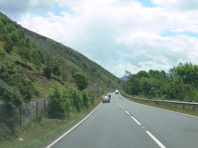
Below Darren Fach
A470 Road. Below wood on right is the Afon Taf Fawr (not in view). Scree does start in this Geosquare.
 Map © Crown Copyright")
TIP: Click the map for more Large scale mapping
- Grid Square
- SO0110, 17 images (more nearby 🔍)
- Photographer
- Bonelli (more nearby)
- Date Taken
- July 2007 (more nearby)
- Submitted
- Tuesday, 3 July, 2007
- Subject Location
-
OSGB36:
 SO 019 101 [100m precision]
WGS84: 51:46.8832N 3:25.3986W - Camera Location
-
OSGB36: SO 018 103
- View Direction
- South-southeast (about 157 degrees)