J3629 : Forest road in the col between Slievenamaddy and Drinnahilly
taken 8 years ago, 3 km from Newcastle, Co Down, Northern Ireland
This is 1 of 2 images, with title Forest road in the col between Slievenamaddy and Drinnahilly in this square
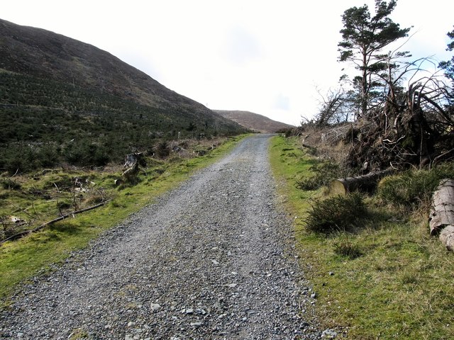
Forest road in the col between Slievenamaddy and Drinnahilly
The camera points west towards Slievenabrock in the background.
![Creative Commons Licence [Some Rights Reserved]](https://s1.geograph.org.uk/img/somerights20.gif)
|
· Find out How to reuse this image ·
Share:
|
|||||
| Start a discussion on J3629 | Suggest an update to this image | Contact the contributor | |||
Loading map... (JavaScript required)
- Grid Square
- J3629, 301 images (more nearby
 )
)
- Photographer
- Eric Jones (find more nearby)
- Date Taken
- Wednesday, 9 March, 2016 (more nearby)
- Submitted
- Friday, 11 March, 2016
- Geographical Context
- Subject Location
-
Irish:
 J 362 299 [100m precision]
WGS84: 54:12.0364N 5:54.8184W - Camera Location
-
Irish: J 363 299
- View Direction
- WEST (about 270 degrees)
Image classification(about):
Geograph
This page has been viewed about 17 times.
View this location:
KML (Google Earth) ·
Google Maps ·
Bing Maps ·
Geograph Coverage Map ·
More Links for this image
·
Bing Maps ·
Geograph Coverage Map ·
More Links for this image