W5064 : A bridge on a farm access road in Knockaneleigh
taken 8 years ago, 3 km from Aherla, Co Cork, Ireland
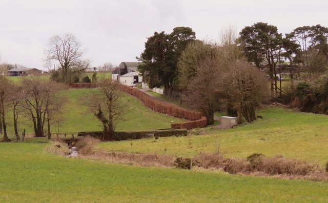
A bridge on a farm access road in Knockaneleigh
The road and bridge are part of the access road for a farm.
![Creative Commons Licence [Some Rights Reserved]](https://s1.geograph.org.uk/img/somerights20.gif)
|
· Find out How to reuse this image ·
Share:
|
|||||
| Start a discussion on W5064 | Suggest an update to this image | Contact the contributor | |||
Loading map... (JavaScript required)
- Grid Square
- W5064 (more nearby
 )
)
- Photographer
- Hywel Williams (find more nearby)
- Date Taken
- Saturday, 12 March, 2016 (more nearby)
- Submitted
- Saturday, 12 March, 2016
- Geographical Context
- Subject Location
-
Irish:
 W 503 643 [100m precision]
WGS84: 51:49.7794N 8:43.2722W - Camera Location
-
Irish: W 503 645
- View Direction
- South-southwest (about 202 degrees)
This page has been viewed about 23 times.
View this location:
KML (Google Earth) ·
Google Maps ·
Bing Maps ·
Geograph Coverage Map ·
More Links for this image
·
Bing Maps ·
Geograph Coverage Map ·
More Links for this image