G1241 : Farming by bog and coast, south of Downpatrick Head
taken 17 years ago, 4 km NNE of Ballycastle, Co Mayo, Ireland
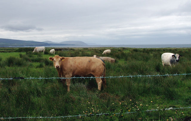
Farming by bog and coast, south of Downpatrick Head
The very rough and marshy grazing is suitable only for the hardiest of cattle
![Creative Commons Licence [Some Rights Reserved]](https://s1.geograph.org.uk/img/somerights20.gif)
|
· Find out How to reuse this image ·
Share:
|
|||||
| Start a discussion on G1241 | Suggest an update to this image | Contact the contributor | |||
Loading map... (JavaScript required)
- Grid Square
- G1241, 8 images (more nearby
 )
)
- Photographer
- Liz McCabe (find more nearby)
- Date Taken
- Friday, 15 June, 2007 (more nearby)
- Submitted
- Friday, 6 July, 2007
- Category
- Animals grazing (more nearby)
- Subject Location
-
Irish:
 G 123 416 [100m precision]
WGS84: 54:18.9377N 9:20.9002W - Camera Location
-
Irish: G 125 416
- View Direction
- WEST (about 270 degrees)
Image classification(about):
Geograph
This page has been viewed about 71 times.
View this location:
KML (Google Earth) ·
Google Maps ·
Bing Maps ·
Geograph Coverage Map ·
More Links for this image
·
Bing Maps ·
Geograph Coverage Map ·
More Links for this image