G1803 : The Foxford Way above Attiappleton, looking north to Lough Conn
taken 17 years ago, 5 km ESE of Bofeenaun, Co Mayo, Ireland
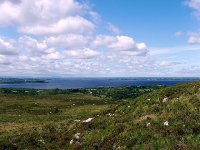
The Foxford Way above Attiappleton, looking north to Lough Conn
The Foxford Way above Attiappleton, looking north to Lough Conn. The long-distance path drops down from the hills to the lakeside lowlands
![Creative Commons Licence [Some Rights Reserved]](https://s1.geograph.org.uk/img/somerights20.gif)
|
· Find out How to reuse this image ·
Share:
|
|||||
| Start a discussion on G1803 | Suggest an update to this image | Contact the contributor | |||
Loading map... (JavaScript required)
- Grid Square
- G1803, 2 images (more nearby
 )
)
- Photographer
- Liz McCabe (find more nearby)
- Date Taken
- Saturday, 16 June, 2007 (more nearby)
- Submitted
- Friday, 6 July, 2007
- Category
- Long Distance Footpath (more nearby)
- Subject Location
-
Irish:
 G 18 03 [1000m precision]
WGS84: 53:58.4672N 9:14.5683W - Camera Location
-
Irish: G 182 033
- View Direction
- NORTH (about 0 degrees)
This page has been viewed about 152 times.
View this location:
KML (Google Earth) ·
Google Maps ·
Bing Maps ·
Geograph Coverage Map ·
More Links for this image
·
Bing Maps ·
Geograph Coverage Map ·
More Links for this image