2016
TF6620 : The Ruins of St James' Church, Bawsey
taken 8 years ago, near to Bawsey, Norfolk, England
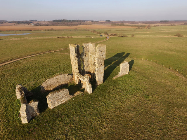
The Ruins of St James' Church, Bawsey
Aerial image taken with DJI Phantom 3 Advanced Quadcopter
 Map © Crown Copyright")
TIP: Click the map for more Large scale mapping
- Grid Square
- TF6620, 54 images (more nearby 🔍)
- Photographer
- Jay Wingfield (more nearby)
- Date Taken
- Thursday, 17 March, 2016 (more nearby)
- Submitted
- Saturday, 19 March, 2016
- Subject Location
-
OSGB36:
 TF 6625 2080 [10m precision]
WGS84: 52:45.5535N 0:27.7362E - Camera Location
-
OSGB36: TF 6623 2076
- View Direction
- North-northeast (about 22 degrees)