S7242 : River Barrow Towpath
taken 17 years ago, near to Graiguenamanagh, Co Kilkenny, Ireland
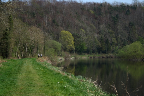
River Barrow Towpath
Between Graiguenamanagh and St Mullins
![Creative Commons Licence [Some Rights Reserved]](https://s1.geograph.org.uk/img/somerights20.gif)
|
· Find out How to reuse this image ·
Share:
|
|||||
| Start a discussion on S7242 | Suggest an update to this image | Contact the contributor | |||
Loading map... (JavaScript required)
- Grid Square
- S7242, 2 images (more nearby
 )
)
- Photographer
- kevin higgins (find more nearby)
- Date Taken
- March 2007 (more nearby)
- Submitted
- Sunday, 8 July, 2007
- Category
- River bank (more nearby)
- Subject Location
-
Irish:
 S 72 42 [1000m precision]
WGS84: 52:31.7672N 6:55.9472W - Camera Location
-
Irish: S 72 42
- View Direction
- Southeast (about 135 degrees)
This page has been viewed about 224 times.
View this location:
KML (Google Earth) ·
Google Maps ·
Bing Maps ·
Geograph Coverage Map ·
More Links for this image
·
Bing Maps ·
Geograph Coverage Map ·
More Links for this image