2016
SN7460 : Edge of the Carn-Fflur Forest
taken 8 years ago, near to Y Garn [antiquity (non-Roman)], Ceredigion, Great Britain
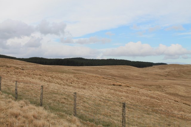
Edge of the Carn-Fflur Forest
The southernmost point of the forest west of Llyn Crugnant and east of Garn Gron, viewed from the Bridleway.
 Map © Crown Copyright")
TIP: Click the map for more Large scale mapping
- Grid Square
- SN7460, 4 images (more nearby 🔍)
- Photographer
- Oliver Strange (more nearby)
- Date Taken
- Sunday, 3 April, 2016 (more nearby)
- Submitted
- Tuesday, 5 April, 2016
- Subject Location
-
OSGB36:
 SN 7464 6076 [10m precision]
WGS84: 52:13.8435N 3:50.2173W - Camera Location
-
OSGB36: SN 7416 6022
- View Direction
- Northeast (about 45 degrees)