2016
SU6403 : Low water at Tipner
taken 8 years ago, near to North End, Portsmouth, England
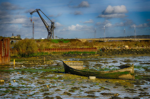
Low water at Tipner
A view from the Mountbatten centre car park and the Pilgrim's Trail.
 Map © Crown Copyright")
TIP: Click the map for more Large scale mapping
- Grid Square
- SU6403, 119 images (more nearby 🔍)
- Photographer
- Chris N Illingworth (more nearby)
- Date Taken
- Sunday, 10 April, 2016 (more nearby)
- Submitted
- Sunday, 10 April, 2016
- Subject Location
-
OSGB36:
 SU 6458 0324 [10m precision]
WGS84: 50:49.5064N 1:5.0693W - Camera Location
-
OSGB36: SU 6464 0322
- View Direction
- West-northwest (about 292 degrees)