2016
NH1898 : Remains of fence below Beinn Donuill
taken 8 years ago, 5 km SE of Strathcanaird, Highland, Scotland
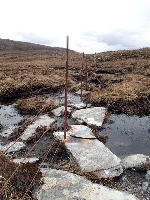
Remains of fence below Beinn Donuill
The fence is a useful marker in mist.
 Map © Crown Copyright")
TIP: Click the map for more Large scale mapping
- Grid Square
- NH1898, 3 images (more nearby 🔍)
- Photographer
- Chris Eilbeck (more nearby)
- Date Taken
- Friday, 8 April, 2016 (more nearby)
- Submitted
- Wednesday, 13 April, 2016
- Subject Location
-
OSGB36:
 NH 1809 9822 [10m precision]
WGS84: 57:56.1637N 5:4.4568W - Camera Location
-
OSGB36: NH 18098 98256
- View Direction
- SOUTH (about 180 degrees)