2016
SO8234 : Wetlands at Pendock
taken 8 years ago, near to Longdon, Worcestershire, England
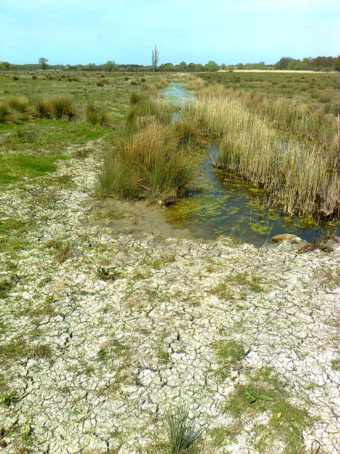
Wetlands at Pendock
The county wildlife trust are trying to restore some water & wildlife to the area following years of drainage.
 Map © Crown Copyright")
TIP: Click the map for more Large scale mapping
- Grid Square
- SO8234, 8 images (more nearby 🔍)
- Photographer
- Chris (more nearby)
- Date Taken
- Wednesday, 4 May, 2016 (more nearby)
- Submitted
- Wednesday, 4 May, 2016
- Subject Location
-
OSGB36:
 SO 8279 3485 [10m precision]
WGS84: 52:0.7085N 2:15.1296W - Camera Location
-
OSGB36: SO 8277 3468
- View Direction
- NORTH (about 0 degrees)