2007
NO8190 : Mill
taken 17 years ago, near to Rickarton, Aberdeenshire, Scotland
Mill
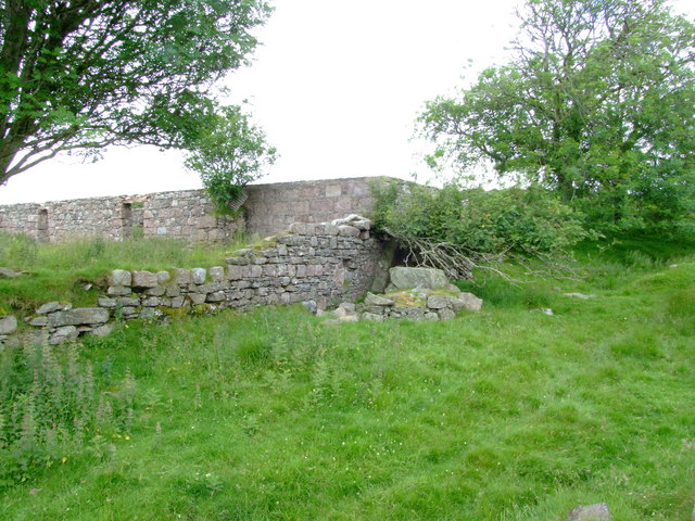
This ruin of a mill lies west of Easter Auquhollie near Rickarton. The sluice
is hidden by the fallen Sycamore tree, but the large stone in front is where
one side of the axle of the waterwheel rested on with the other end going through the hole in the wall. The water that powered the mill must have come from a spring as there is no sign of a river or burn at that height on the hill.
 Map © Crown Copyright")
TIP: Click the map for more Large scale mapping
- Grid Square
- NO8190, 2 images (more nearby 🔍)
- Photographer
- Alan Thomson (more nearby)
- Date Taken
- Saturday, 14 July, 2007 (more nearby)
- Submitted
- Saturday, 14 July, 2007
- Subject Location
-
OSGB36:
 NO 812 909 [100m precision]
WGS84: 57:0.5748N 2:18.6014W - Camera Location
-
OSGB36: NO 813 909
- View Direction
- Northwest (about 315 degrees)