2016
SE9198 : Burn Howe Rigg, High Moor
taken 8 years ago, near to Burn Howe Rigg [other Features], North Yorkshire, Great Britain
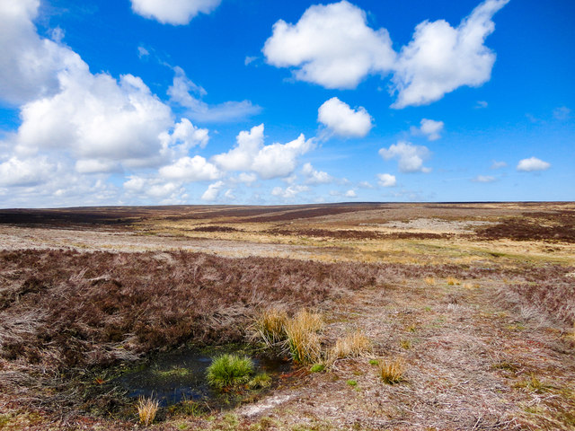
Burn Howe Rigg, High Moor
Looking out over the moorland within the square. Lovely on a fine day.
 Map © Crown Copyright")
TIP: Click the map for more Large scale mapping
- Grid Square
- SE9198, 9 images (more nearby 🔍)
- Photographer
- Scott Robinson (more nearby)
- Date Taken
- Sunday, 15 May, 2016 (more nearby)
- Submitted
- Wednesday, 18 May, 2016
- Subject Location
-
OSGB36:
 SE 9167 9831 [10m precision]
WGS84: 54:22.3236N 0:35.4243W - Camera Location
-
OSGB36: SE 9182 9806
- View Direction
- North-northwest (about 337 degrees)