2016
SN2952 : Penbryn beach taken from Wales coastal path
taken 8 years ago, near to Penbryn, Ceredigion/Sir Ceredigion, Wales
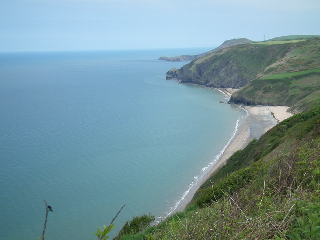
Penbryn beach taken from Wales coastal path
 Map © Crown Copyright")
TIP: Click the map for more Large scale mapping
- Grid Square
- SN2952, 58 images (more nearby 🔍)
- Photographer
- BARRIE TRIGG (more nearby)
- Date Taken
- Sunday, 15 May, 2016 (more nearby)
- Submitted
- Saturday, 21 May, 2016
- Subject Location
-
OSGB36:
 SN 292 524 [100m precision]
WGS84: 52:8.6484N 4:29.8251W - Camera Location
-
OSGB36: SN 286 520
- View Direction
- East-northeast (about 67 degrees)