2007
SZ3285 : Tennyson Down path
taken 17 years ago, near to Totland, Isle of Wight, England
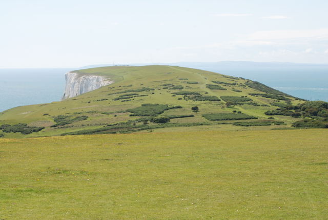
Tennyson Down path
 Map © Crown Copyright")
TIP: Click the map for more Large scale mapping
- Grid Square
- SZ3285, 110 images (more nearby 🔍)
- Photographer
- Bruce McDowall (more nearby)
- Date Taken
- Sunday, 8 July, 2007 (more nearby)
- Submitted
- Monday, 16 July, 2007
- Subject Location
-
OSGB36:
 SZ 321 853 [100m precision]
WGS84: 50:40.0107N 1:32.7615W - Camera Location
-
OSGB36: SZ 321 853
- View Direction
- West-southwest (about 247 degrees)