2016
NF8748 : Eastern end of Rairnis
taken 8 years ago, near to Loch Meanarbhagh [water Feature], Na h-Eileanan an Iar, Great Britain
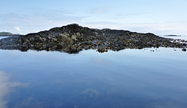
Eastern end of Rairnis
 Map © Crown Copyright")
TIP: Click the map for more Large scale mapping
- Grid Square
- NF8748 (more nearby 🔍)
- Photographer
- Toby Speight (more nearby)
- Date Taken
- Monday, 23 May, 2016 (more nearby)
- Submitted
- Tuesday, 31 May, 2016
- Subject Location
-
OSGB36:
 NF 8792 4844 [10m precision]
WGS84: 57:25.1257N 7:12.0178W - Camera Location
-
OSGB36: NF 87915 48425
- View Direction
- North-northeast (about 22 degrees)