2014
NZ8900 : Robin Hood's Bay Path ( Road )
taken 10 years ago, 5 km SSE of Littlebeck, North Yorkshire, England
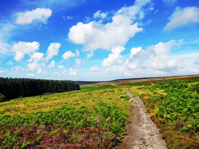
Robin Hood's Bay Path ( Road )
Heading north into Cock Lake Side from Leech Bog Slack.
 Map © Crown Copyright")
TIP: Click the map for more Large scale mapping
- Grid Square
- NZ8900, 15 images (more nearby 🔍)
- Photographer
- Scott Robinson (more nearby)
- Date Taken
- Saturday, 9 August, 2014 (more nearby)
- Submitted
- Tuesday, 31 May, 2016
- Subject Location
-
OSGB36:
 NZ 8957 0036 [10m precision]
WGS84: 54:23.4511N 0:37.3262W - Camera Location
-
OSGB36: NZ 8945 0004
- View Direction
- North-northeast (about 22 degrees)