2007
NU1223 : Footpath
taken 17 years ago, 3 km from West Ditchburn, Northumberland, England
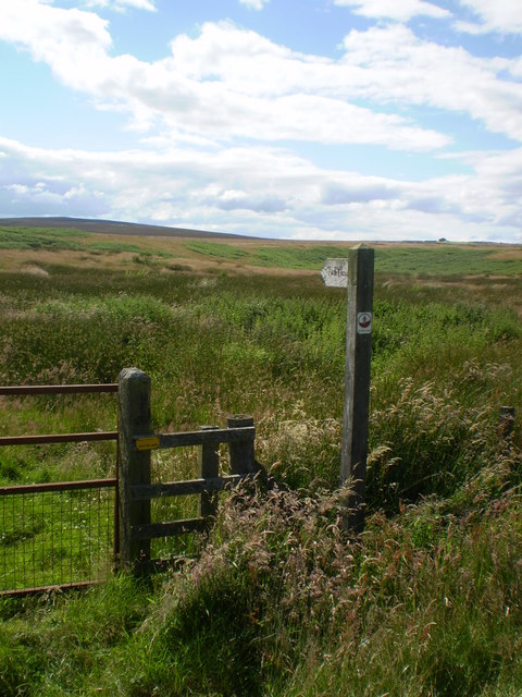
Footpath
A strange footpath as it just goes to the top of the hill and back to the road a short distance further to the west.
 Map © Crown Copyright")
TIP: Click the map for more Large scale mapping
- Grid Square
- NU1223, 21 images (more nearby 🔍)
- Photographer
- Andrew Stuart (more nearby)
- Date Taken
- Monday, 16 July, 2007 (more nearby)
- Submitted
- Thursday, 19 July, 2007
- Subject Location
-
OSGB36:
 NU 128 237 [100m precision]
WGS84: 55:30.4467N 1:47.9054W - Camera Location
-
OSGB36: NU 128 238
- View Direction
- Southwest (about 225 degrees)