S8855 : Rural road
taken 8 years ago, 3 km from Bunclody, Co Wexford, Ireland
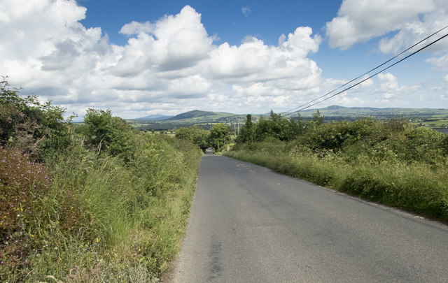
Rural road
The view along this road, 3 km west of Bunclody (Bun Cloidi), extends to Gibbet Hill, 4 km further east.
![Creative Commons Licence [Some Rights Reserved]](https://s1.geograph.org.uk/img/somerights20.gif)
|
· Find out How to reuse this image ·
Share:
|
|||||
| Start a discussion on S8855 | Suggest an update to this image | Contact the contributor | |||
Loading map... (JavaScript required)
- Grid Square
- S8855, 2 images (more nearby
 )
)
- Photographer
- Neville Goodman (find more nearby)
- Date Taken
- Sunday, 12 June, 2016 (more nearby)
- Submitted
- Sunday, 12 June, 2016
- Geographical Context
- Primary Subject of Photo
- Subject Location
-
Irish:
 S 886 558 [100m precision]
WGS84: 52:38.8150N 6:41.4853W - Camera Location
-
Irish: S 884 557
- View Direction
- East-northeast (about 67 degrees)
This page has been viewed about 54 times.
View this location:
KML (Google Earth) ·
Google Maps ·
Bing Maps ·
Geograph Coverage Map ·
More Links for this image
·
Bing Maps ·
Geograph Coverage Map ·
More Links for this image