2016
SO9221 : End of the No Overtaking Zone, Gloucester Road, Cheltenham
taken 8 years ago, near to Up Hatherley, Gloucestershire, England
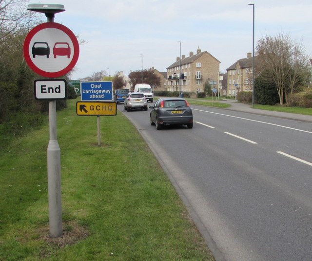
End of the No Overtaking Zone, Gloucester Road, Cheltenham
The sign is on the south side of the A40 Gloucester Road, near a GCHQ direction sign. GCHQ is the UK Government Communications Headquarters which is the centre for Her Majesty's Government's Signal Intelligence (SIGINT) activities.
A40 Road
The A40 road runs 256 miles from the City of London to Fishguard. It is a major trunk road and runs through High Wycombe, Oxford, Cheltenham, Ross on Wye, Abergavenny, Llandeilo and Carmarthen.
 Map © Crown Copyright")
TIP: Click the map for more Large scale mapping
- Grid Square
- SO9221, 163 images (more nearby 🔍)
- Photographer
- Jaggery (more nearby)
- Date Taken
- Sunday, 3 April, 2016 (more nearby)
- Submitted
- Friday, 15 July, 2016
- Subject Location
-
OSGB36:
 SO 9233 2196 [10m precision]
WGS84: 51:53.7680N 2:6.7722W - Camera Location
-
OSGB36: SO 9233 2196
- View Direction
- WEST (about 270 degrees)