J0510 : T-junction on the R132 (Newry Road)
taken 8 years ago, near to Faughart Upper, Co Louth, Ireland
This is 1 of 2 images, with title T-junction on the R132 (Newry Road) in this square
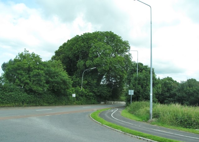
T-junction on the R132 (Newry Road)
The road on the right, once part of the N52 is now a cul-de-sac.
![Creative Commons Licence [Some Rights Reserved]](https://s1.geograph.org.uk/img/somerights20.gif)
|
· Find out How to reuse this image ·
Share:
|
|||||
| Start a discussion on J0510 | Suggest an update to this image | Contact the contributor | |||
Loading map... (JavaScript required)
- Grid Square
- J0510, 55 images (more nearby
 )
)
- Photographer
- Eric Jones (find more nearby)
- Date Taken
- Monday, 4 July, 2016 (more nearby)
- Submitted
- Friday, 22 July, 2016
- Geographical Context
- Subject Location
-
Irish:
 J 054 101 [100m precision]
WGS84: 54:1.7701N 6:23.5103W - Camera Location
-
Irish: J 054 101
- View Direction
- West-northwest (about 292 degrees)
This page has been viewed about 19 times.
View this location:
KML (Google Earth) ·
Google Maps ·
Bing Maps ·
Geograph Coverage Map ·
More Links for this image
·
Bing Maps ·
Geograph Coverage Map ·
More Links for this image