2016
SD5903 : Taylor's Lane Benchmark
taken 8 years ago, near to Ince-in-Makerfield, Wigan, England
This is 1 of 2 images, with title starting with Taylor's Lane in this square
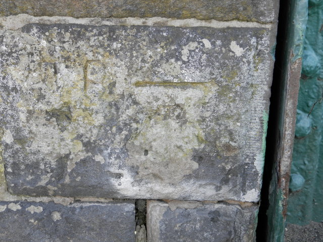
Taylor's Lane Benchmark
Slightly damaged benchmark on Taylor's Lane Railway Bridge
 Map © Crown Copyright")
TIP: Click the map for more Large scale mapping
- Grid Square
- SD5903, 111 images (more nearby 🔍)
- Photographer
- Chris Cursley (more nearby)
- Date Taken
- Friday, 22 July, 2016 (more nearby)
- Submitted
- Friday, 22 July, 2016
- Subject Location
-
OSGB36:
 SD 594 033 [100m precision]
WGS84: 53:31.4872N 2:36.8328W - Camera Location
-
OSGB36: SD 594 033
- View Direction
- SOUTH (about 180 degrees)