2007
SP0444 : Flooded River Avon
taken 17 years ago, near to Evesham, Worcestershire, England
This is 1 of 2 images, with title Flooded River Avon in this square
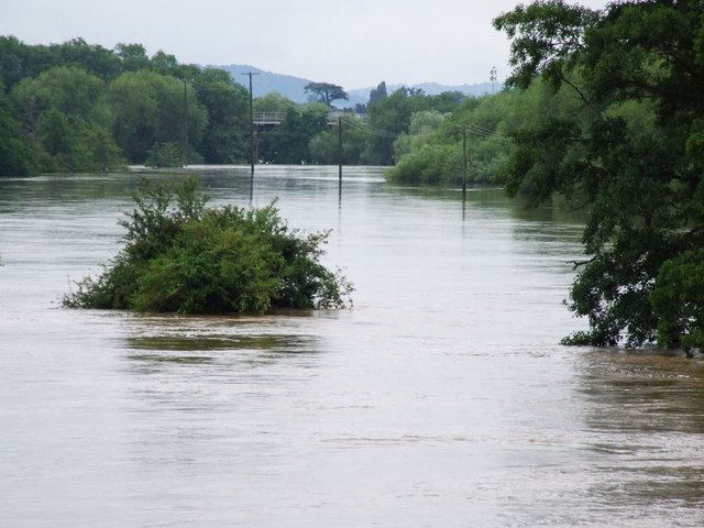
Flooded River Avon
Looking from the Simon de Montford Bridge (A46) to the railway bridge.
 Map © Crown Copyright")
TIP: Click the map for more Large scale mapping
- Grid Square
- SP0444, 45 images (more nearby 🔍)
- Photographer
- David Luther Thomas (more nearby)
- Date Taken
- Saturday, 21 July, 2007 (more nearby)
- Submitted
- Thursday, 26 July, 2007
- Subject Location
-
OSGB36:
 SP 045 443 [100m precision]
WGS84: 52:5.8322N 1:56.1259W - Camera Location
-
OSGB36: SP 049 452
- View Direction
- South-southwest (about 202 degrees)