J3728 : The valley of the Amy River from the slopes of Millstone Mountain
taken 9 years ago, 4 km S of Newcastle, Co Down, Northern Ireland
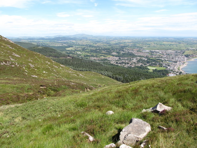
The valley of the Amy River from the slopes of Millstone Mountain
The river descends down the northern flank of the Mournes to enter Dundrum Bay at Newcastle Harbour.
![Creative Commons Licence [Some Rights Reserved]](https://s1.geograph.org.uk/img/somerights20.gif)
|
· Find out How to reuse this image ·
Share:
|
|||||
| Start a discussion on J3728 | Suggest an update to this image | Contact the contributor | |||
Loading map... (JavaScript required)
- Grid Square
- J3728, 141 images (more nearby
 )
)
- Photographer
- Eric Jones (find more nearby)
- Date Taken
- Thursday, 16 July, 2015 (more nearby)
- Submitted
- Sunday, 31 July, 2016
- Geographical Context
- Subject Location
-
Irish:
 J 374 285 [100m precision]
WGS84: 54:11.2670N 5:53.6713W - Camera Location
-
Irish: J 375 284
- View Direction
- North-northwest (about 337 degrees)
This page has been viewed about 26 times.
View this location:
KML (Google Earth) ·
Google Maps ·
Bing Maps ·
Geograph Coverage Map ·
More Links for this image
·
Bing Maps ·
Geograph Coverage Map ·
More Links for this image