H9517 : Republican Memorial
taken 17 years ago, 3 km from Creggan, Co Armagh, Northern Ireland
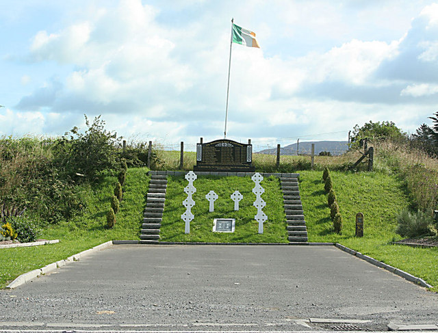
Republican Memorial
On the Armagh to Dundalk Road just south of Silverbridge. During the Troubles this part of South Armagh was referred to as "Bandit Country" Link
![Creative Commons Licence [Some Rights Reserved]](https://s1.geograph.org.uk/img/somerights20.gif)
|
· Find out How to reuse this image ·
Share:
|
|||||
| Start a discussion on H9517 | Suggest an update to this image | Contact the contributor | |||
Loading map... (JavaScript required)
- Grid Square
- H9517, 39 images (more nearby
 )
)
- Photographer
- Shane Killen (find more nearby)
- Date Taken
- Saturday, 28 July, 2007 (more nearby)
- Submitted
- Saturday, 28 July, 2007
- Category
- Memorial > Memorial (more nearby)
- Subject Location
-
Irish:
 H 95 17 [1000m precision]
WGS84: 54:5.8681N 6:32.4595W - Camera Location
-
Irish: H 95 17
- View Direction
- NORTH (about 0 degrees)
This page has been viewed about 240 times.
View this location:
KML (Google Earth) ·
Google Maps ·
Bing Maps ·
Geograph Coverage Map ·
More Links for this image