1976
SJ9664 : Hannel Farm taken Winter 1976
taken 48 years ago, near to Danebridge, Cheshire East, England
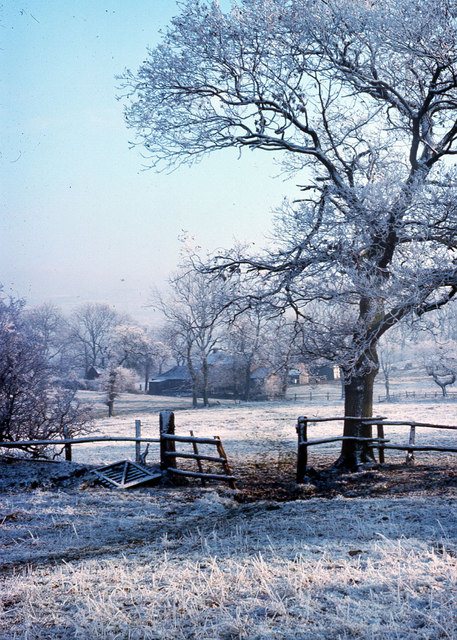
Hannel Farm taken Winter 1976
The photograph was taken from the path from Gig Hall to Bearda.
 Map © Crown Copyright")
TIP: Click the map for more Large scale mapping
- Grid Square
- SJ9664, 20 images (more nearby 🔍)
- Photographer
- Barry Dale (more nearby)
- Date Taken
- 1976 (more nearby)
- Submitted
- Monday, 30 July, 2007
- Subject Location
-
OSGB36:
 SJ 960 640 [100m precision]
WGS84: 53:10.3857N 2:3.6688W - Camera Location
-
OSGB36: SJ 960 640
- View Direction
- EAST (about 90 degrees)