2007
NH6478 : The track leading up Strath Rory heads towards the forest
taken 17 years ago, 4 km N of Stittenham, Highland, Scotland
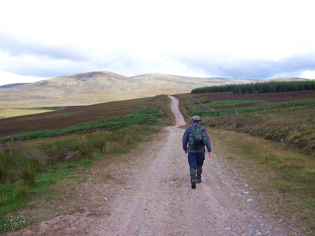
The track leading up Strath Rory heads towards the forest.
This excellent track leads towards the distant hills of Torr Leathann and Beinn Tharsuinn.
 Map © Crown Copyright")
TIP: Click the map for more Large scale mapping
- Grid Square
- NH6478, 5 images (more nearby 🔍)
- Photographer
- bill copland (more nearby)
- Date Taken
- Friday, 27 July, 2007 (more nearby)
- Submitted
- Tuesday, 31 July, 2007
- Subject Location
-
OSGB36:
 NH 647 785 [100m precision]
WGS84: 57:46.5521N 4:16.5584W - Camera Location
-
OSGB36: NH 648 785
- View Direction
- West-northwest (about 292 degrees)