C3423 : Inch Island and eastern branch of Lough Swilly
taken 20 years ago, near to Inch, Co Donegal, Ireland
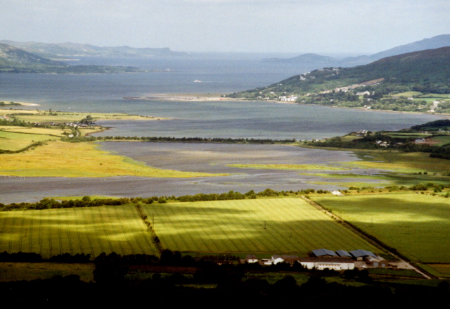
Inch Island and eastern branch of Lough Swilly
Inch Island and the causeway at Quigley Point across the eastern branch of Lough Swilly, dividing Inishoven from Fanad, Co. Donegal, Rep. of Ireland. Viewed from Grianan of Aileach.
![Creative Commons Licence [Some Rights Reserved]](https://s1.geograph.org.uk/img/somerights20.gif)
|
· Find out How to reuse this image ·
Share:
|
|||||
| Start a discussion on C3423 | Suggest an update to this image | Contact the contributor | |||
Loading map... (JavaScript required)
- Grid Square
- C3423, 29 images (more nearby
 )
)
- Photographer
- Corinna Schleiffer (find more nearby)
- Date Taken
- Thursday, 22 July, 2004 (more nearby)
- Submitted
- Friday, 9 September, 2005
- Category
- Lough (more nearby)
- Subject Location
-
Irish:
 C 3467 2398 [10m precision]
WGS84: 55:3.7181N 7:27.4898W - Camera Location
-
Irish: C 365 197
- View Direction
- North-northwest (about 337 degrees)
Image classification(about):
Supplemental image
This page has been viewed about 433 times.
View this location:
KML (Google Earth) ·
Google Maps ·
Bing Maps ·
Geograph Coverage Map ·
More Links for this image
·
Bing Maps ·
Geograph Coverage Map ·
More Links for this image