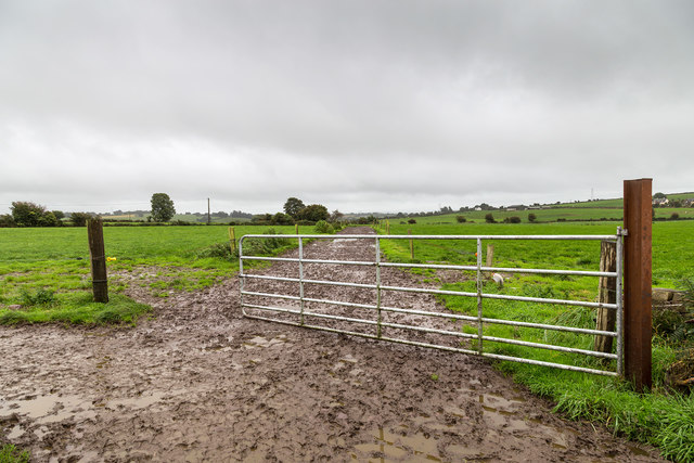
W4679 : Farm track south east of minor road
taken 8 years ago, 3 km from Aghabullogue, Co Cork, Ireland
![Creative Commons Licence [Some Rights Reserved]](https://s1.geograph.org.uk/img/somerights20.gif)
|
· Find out How to reuse this image ·
Share:
|
|||||
| Start a discussion on W4679 | Suggest an update to this image | Contact the contributor | |||
Loading map... (JavaScript required)
- Grid Square
- W4679 (more nearby
 )
)
- Photographer
- David P Howard (find more nearby)
- Date Taken
- Saturday, 24 September, 2016 (more nearby)
- Submitted
- Monday, 26 September, 2016
- Geographical Context
- Primary Subject of Photo
- Subject Location
-
Irish:
 W 468 791 [100m precision]
WGS84: 51:57.7671N 8:46.4292W - Camera Location
-
Irish: W 468 792
- View Direction
- Southeast (about 135 degrees)
This page has been viewed about 23 times.
View this location:
KML (Google Earth) ·
Google Maps ·
Bing Maps ·
Geograph Coverage Map ·
More Links for this image
·
Bing Maps ·
Geograph Coverage Map ·
More Links for this image